The Kander river deviation and its aftermath
The stretch of A6 motorway between Thun and Spiez follows the path of a former riverbed and crosses a pioneering project of Swiss water cor-rection dating from the early 18th century. The Kander river deviation had a big impact on the region around the town of Thun and on the man who initiated and managed the project: Samuel Bodmer.

Reto Bleuer
Reto Bleuer is a volunteer at the Archaeological Service of the Canton of Bern.
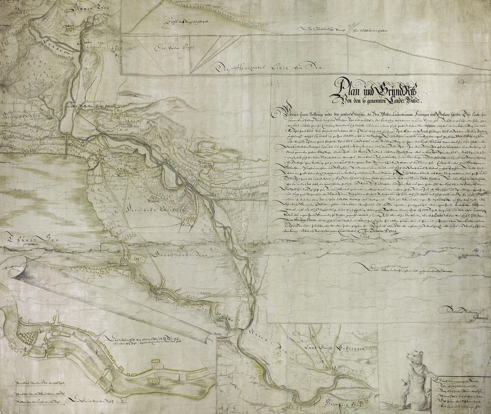
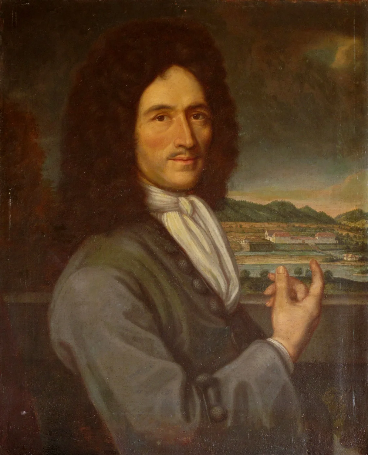
In response, some of the affected communes submitted a proposal to the Bern government in 1698, requesting that the course of the tempestuous river be diverted into Lake Thun. The authorities subsequently set up a committee to review the feasibility of such an undertaking. It proved a long process and it was only following the appointment of the third Kander committee in 1710 that any concrete plans took shape. Respected fortress builder Pietro Morettini worked with the committee as an adviser. However, Samuel Bodmer (1652-1724) led the project. A trained baker, Bodmer also had knowledge of engineering and field measurement from his days as an artillery officer. He owned the estate in Amsoldingen and ran a mill. He had a good view of the havoc occasionally wrought by the Kander from Amsoldingen as it was on slightly higher ground. Having previously done some surveying for the council of Bern, he felt ready to plan and implement the big Kander diversion.
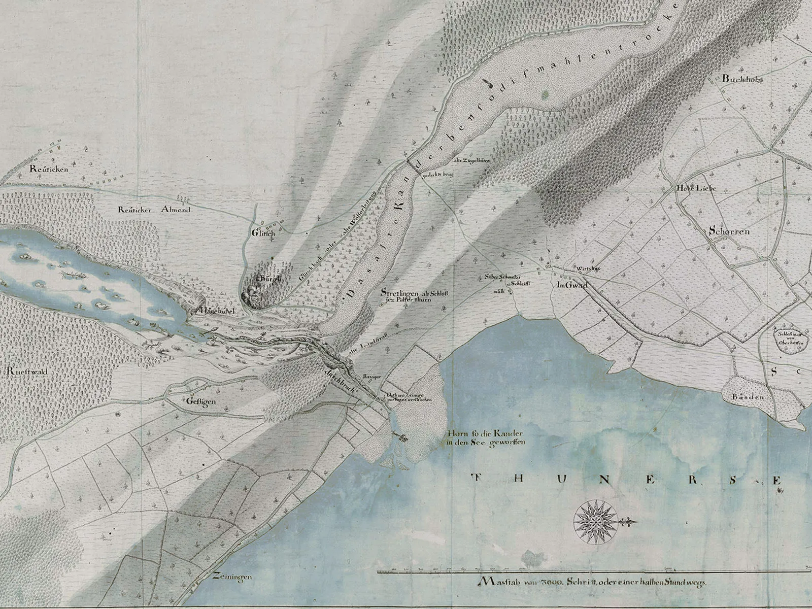
Bodmer proposed digging a 400-metre long channel in the moraine hills running parallel to Lake Thun to divert part of the river near Einigen into Lake Thun. This came to be known as the ‘Kanderdurchstich’ or Kander river deviation. Bodmer also heeded the concerns of Thun municipal council that the Kander would raise the Lake Thun water margin leading to flooding in the city, and he proposed additional measures to increase the lake’s flow rate.
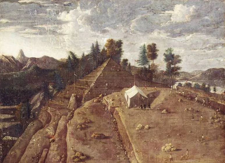
Work began in April 1711. Bodmer started out with a team of 150 workers equipped with shovels, pickaxes and wheelbarrows. They got to work on clearing the hill near Strättligen bit by bit. The construction team comprised a few professionals, many day labourers, some beggars, tramps and prisoners as well as women and children. Although the work was organised with military discipline and lasted from 5am to 7pm every day, progress was slow. The outbreak of the second Villmergen War in spring 1712 interrupted the work for almost a year.
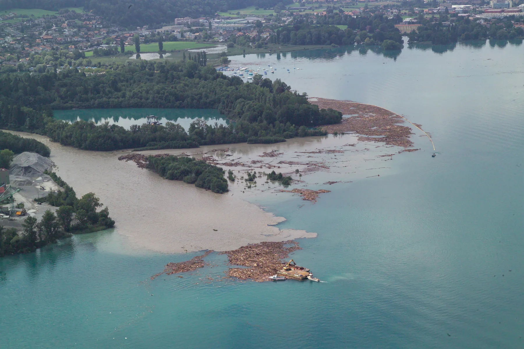
The town of Thun was even harder hit by the aftereffects of the Kander diversion. The volume of water flowing into Lake Thun suddenly increased by 60%, which caused many more floods in the area. Bridge foundations and buildings were undermined and, in some cases, destroyed. Extensive construction measures were needed to mitigate the situation: the waterways around Thun were expanded to make another Aare tributary, mills were moved, barriers removed and locks built to regulate the water level. Despite all these measures, the town remained vulnerable to flooding. It was only in 2009 – almost 300 years after the Kander diversion – that an additional outflow was created when a relief tunnel was constructed. It serves as a conduit for water from Lake Thun to flow under the town when necessary, thus mitigating the aftermath of the Kander diversion.
Another outcome of the diversion was the Kander delta, which quickly formed at the new mouth of the Kander through the accumulated debris and fed into Lake Thun. Today the delta is a protected nature conservation area, which is home to many animal species and types of plant. However, were it not for the gravel mining conducted for over 100 years, which yields about 20,000 cubic metres of gravel a year, the delta would be much larger and would long since have silted up the lower basin of Lake Thun.