Map of eastern Lake Zurich at the time of the First War of Villmergen, 1656 (detail).
Although it’s not always obvious today, the names of many towns and localities in Switzerland are associated with forest clearance or forest management. Rüti is one example. Map of eastern Lake Zurich at the time of the First War of Villmergen, 1656 (detail). Zentralbibliothek Zürich

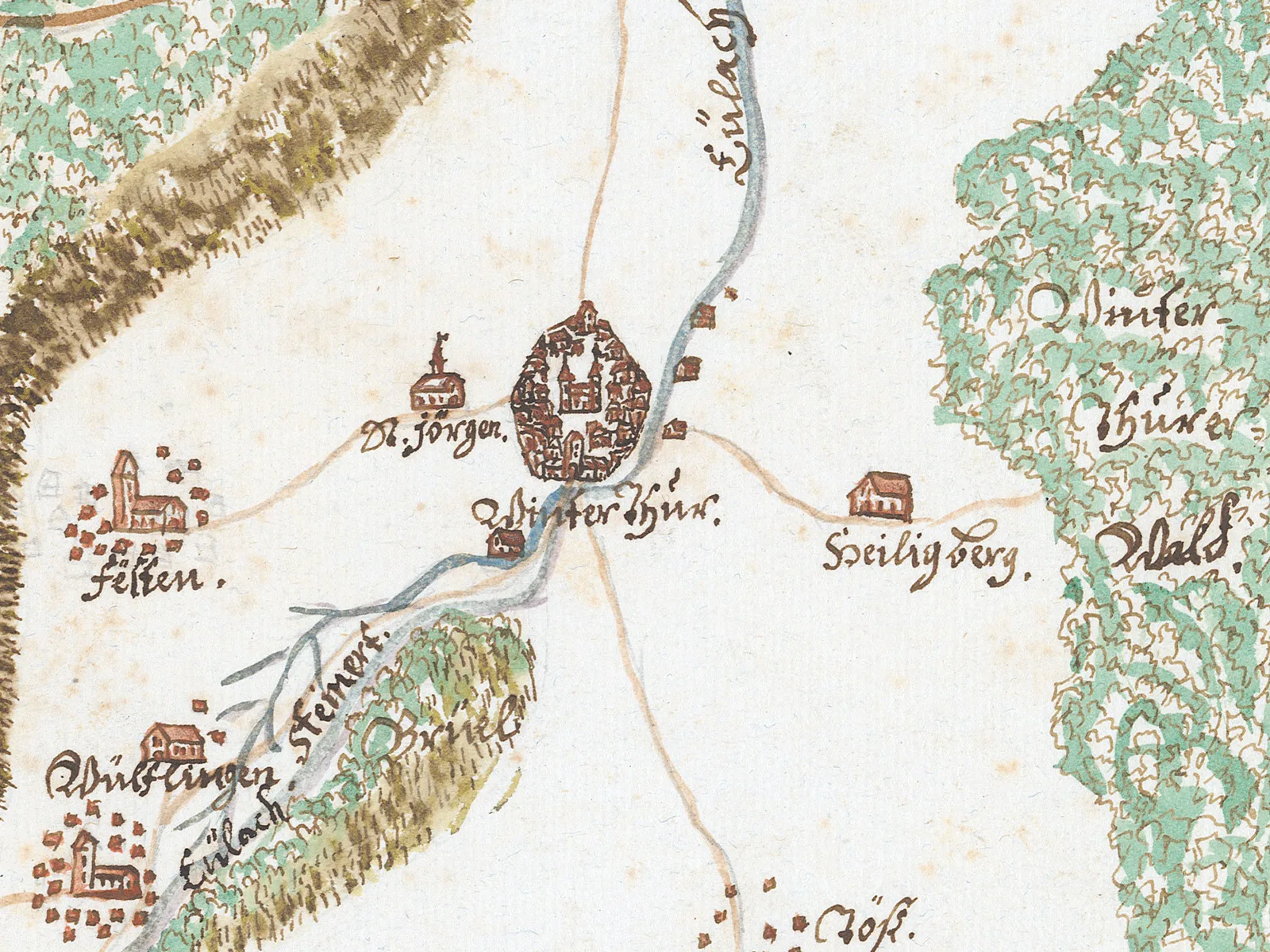
“Rüti” and “Schwand” indicate historical clear-felling of forests

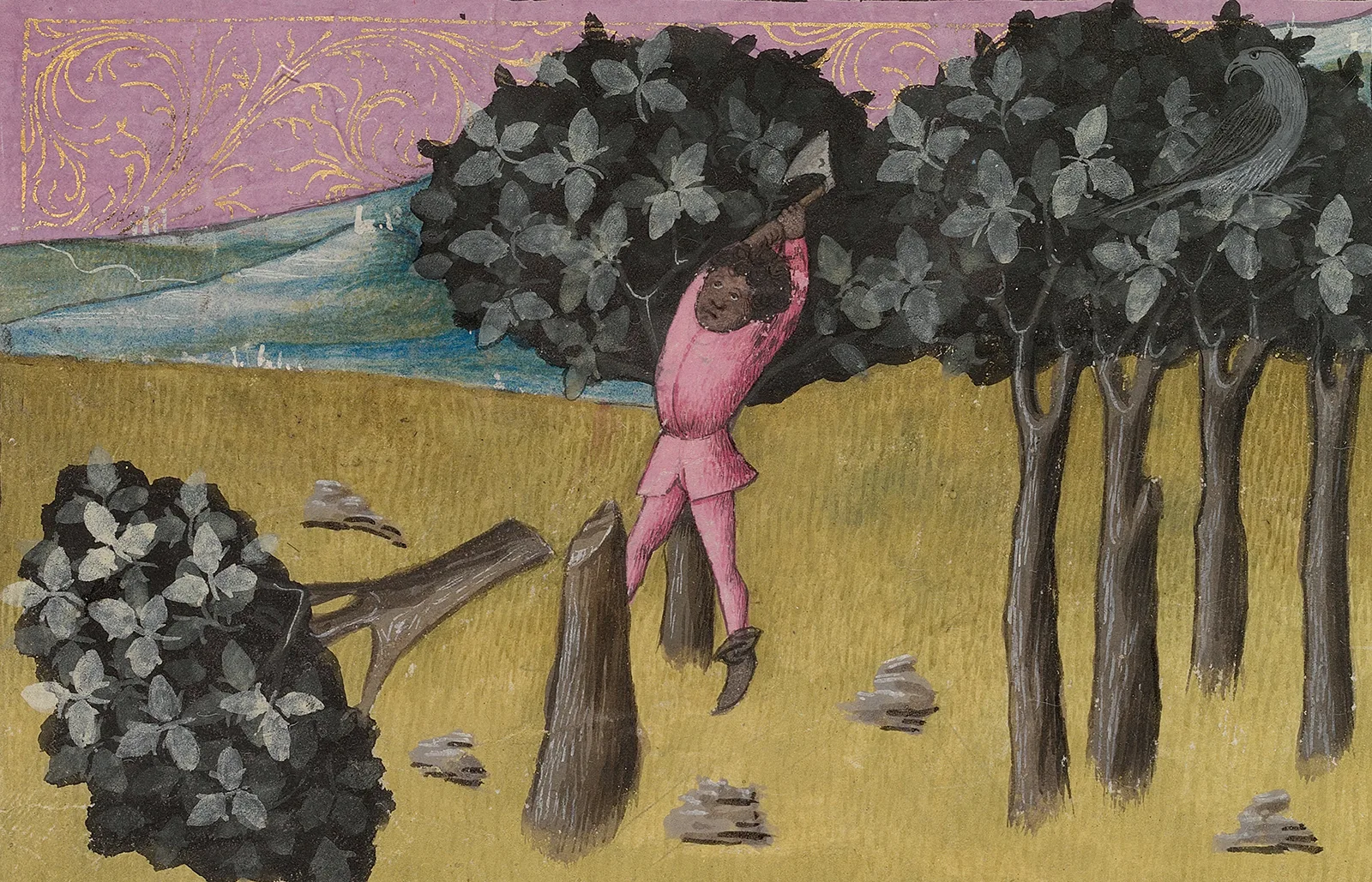
The forests of Switzerland have been managed since time immemorial – and for centuries, they were also cleared on a large scale. The complex relationship between humans and the forest is immortalised in the names of towns and localities.

André Perler

André Perler

André Perler is a dialectologist and historian and works at SRF as a dialect editor.

Today, a third of Switzerland’s land area is forested. In the 7th century, at the time of the Alemannic settlement of what is now the German-speaking part of Switzerland, most of present-day Switzerland was still virgin forest. The space for settlements, farmland and pastures had to be carved out of what was in places dense forest by laborious clearing of the land. This expansion of the land was most intensive during the High Middle Ages, accelerated by a sustained increase in population, and it continued until the 17th century; the settlements and fields and pastures cut deeper and deeper into the forests. Switzerland’s central plateau became increasingly bare of forest, and in the second half of the millennium the primeval forests in the Alpine region and its foothills were also greatly reduced.
Land reclamation through deforestation. Sachsenspiegel, ca. 1230.
Land reclamation through deforestation. Sachsenspiegel, ca. 1230. Universitätsbibliothek Heidelberg
There may be scant written documentation of the dramatic expansion of the land during the Medieval and Early Modern periods, but innumerable toponyms, i.e. place names and especially locality names, are evidence of this process. If we look only at those that can be traced back to Middle High German riuten, “to clear”, there are more than 10,000 such toponyms in the German-speaking part of Switzerland, including many Rüti, Rüttene and Grüt names. The legendary Rütli overlooking Lake Uri (literally “small piece of cleared land”) is one of these – and even today, it’s still surrounded by forest. These Rüti toponyms are considered evidence of the first phase of land expansion and large-scale cultivation, and can be found across large swathes of the German-speaking parts of the world and throughout German-speaking Switzerland.
Colourised wood engraving from 1859.
Even the Rütli got its name from a patch of cleared woodland. The word Rüti comes from the Middle High German riuten, “to clear”; Rütli literally means “small piece of cleared land”. Colourised wood engraving from 1859. Swiss National Museum
Schwand, Schwendi and similar locality and place names are also widespread – but these are mainly found in the Alpine area and the foothills of the Alps. They therefore represent a later phase of deforestation, which is also reflected in the fact that they’re further away from the main settlements and at higher altitudes than Rüti localities. Schwand, Schwendi and the like derive from a special method of forest clearance, known as Schwenden. The tree bark is peeled off in a strip around the trunk, causing the trees to wither and die.
Schwende near Appenzell, ca. 1870
Schwende near Appenzell, ca. 1870. Schwenden is a method of forest clearance where the trees are allowed to dry up and wither. ETH Library
Slash-and-burn clearance was also common. Locality names such as Brand, Sangi or Sangere (from sengen, “to singe”) reflect this. Toponyms such as Stocke, Stockere and the like also refer, indirectly, to slash-and-burn clearance. After the trees had been burned down, initially the rootstocks remained in the ground. These root systems might later be ausgestockt, i.e. dug up, but sometimes they were left where they were – the area could also be used as grazing land with the roots left in place. Stocke, Stockere, etc. refer to an area with rootstocks still present. Of course, it wasn’t just the German-speaking peoples who cleared land. In the French-speaking area of the country, for example, the often-used locality name Essert(s) can be traced back to forest clearance; the Italian toponym Ronco and the Rhaeto-Romanic Runcs derive from the Latin runcare, “to clear”.
A man felling a tree with an axe. Illustration of forest management from the Codex Granatensis, ca. 1400.
A man felling a tree with an axe. Illustration of forest management from the Codex Granatensis, ca. 1400. Universidad de Granada
Where the forest had to give way only in the 19th or 20th century to our almost insatiable thirst for fuel, building material and living space, clearing names no longer arose. Instead, the old, forest-related toponyms were continued. The names Hard, Loo, Holz and, of course, Wald generally refer to a forest. Toponyms such as Birch, Buech or Tann indicate areas where birch, beech or pine trees grew. And Schachen denotes a small copse or stand of trees, often alongside a body of water. An example of a young field name is the Amerikanerblätz in Hägendorf, Canton of Solothurn. This piece of land is so named because it was cleared in the 19th century in order to provide wood for sale, to finance passage to America for 128 of the villagers. The village was keen to fund their fares so that these people would no longer be a burden on the community’s poor fund.
The forest has always played an important role in the day-to-day life of humankind. In the upper Sihlwald near Zurich, ca. 1760.
The forest has always played an important role in the day-to-day life of humankind. In the upper Sihlwald near Zurich, ca. 1760. Zentralbibliothek Zürich
Vast tracts of land were cleared between the Middle Ages and the 20th century. Nevertheless, forests have remained part of Switzerland’s characteristic landscape to this day. In addition to the few virgin forests that have been preserved, such as the forest at Derborence in Valais, most of Switzerland’s forests now are commercial timberland that is managed or even newly created by humans. Individual toponyms indicate the type of use: the locality name Schlag may denote an area of woodland earmarked for logging – or a parcel of land that was cleared by logging. Hay or foliage were gathered in the Heuwald, cattle grazed in the Weidwald and the Stelliwald was used to provide shelter for livestock, perhaps during bad weather. 
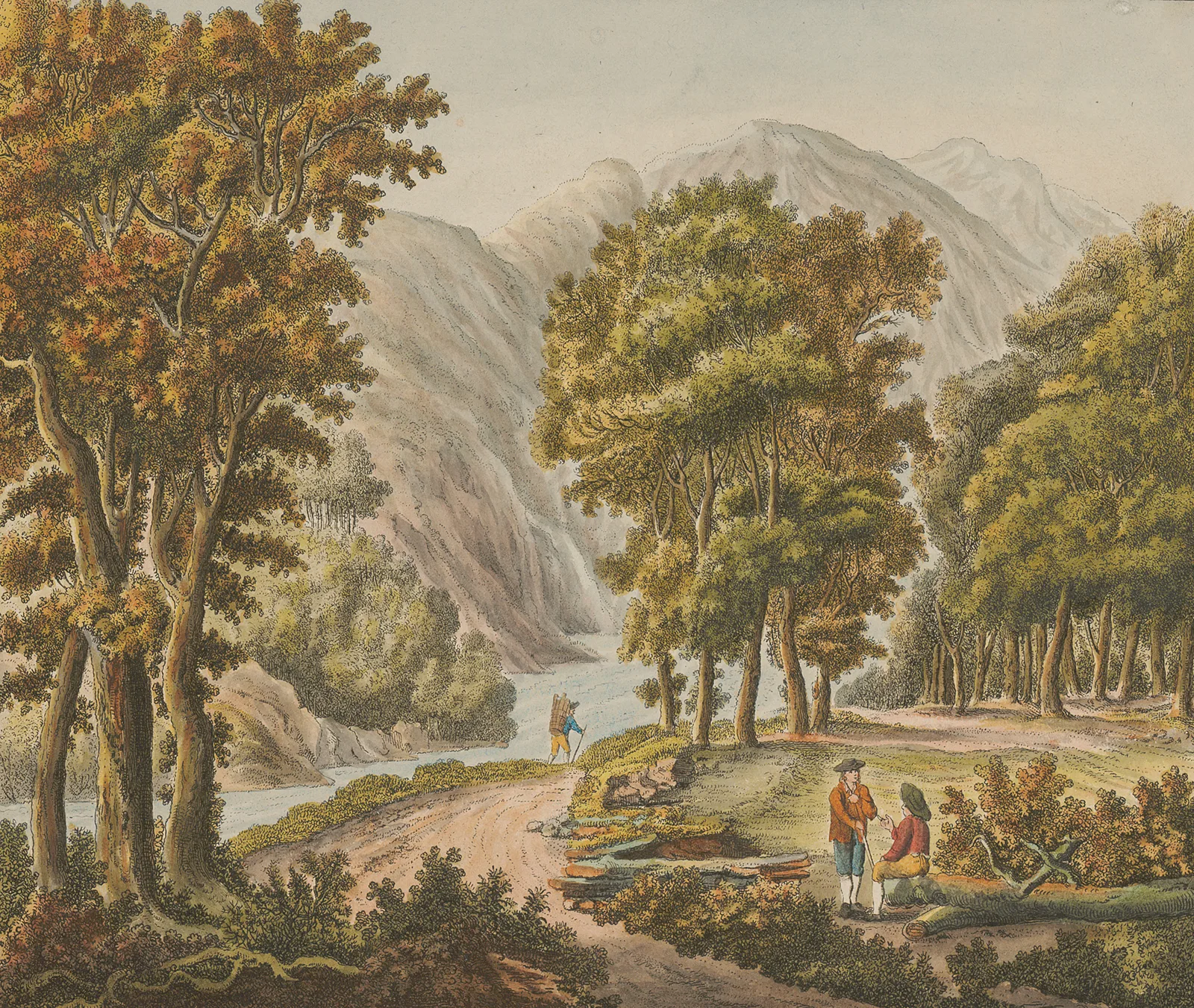
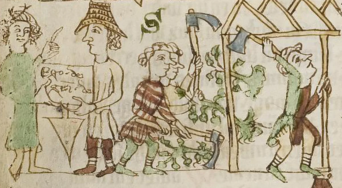
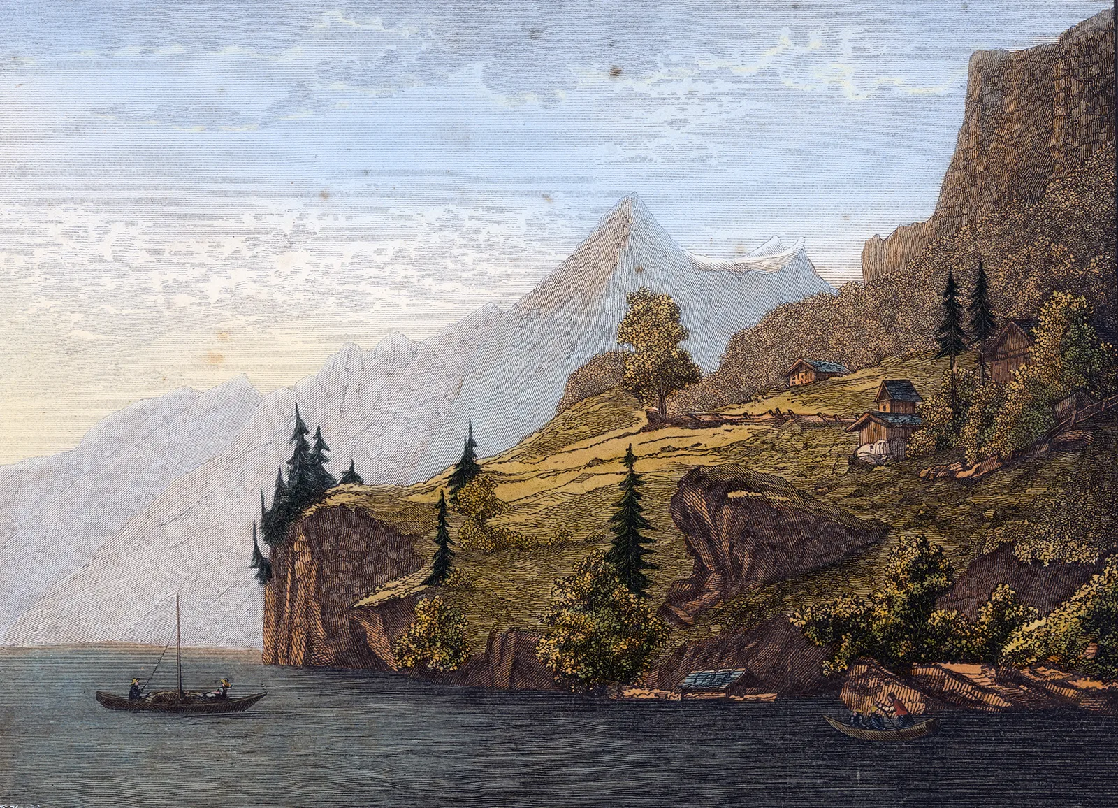
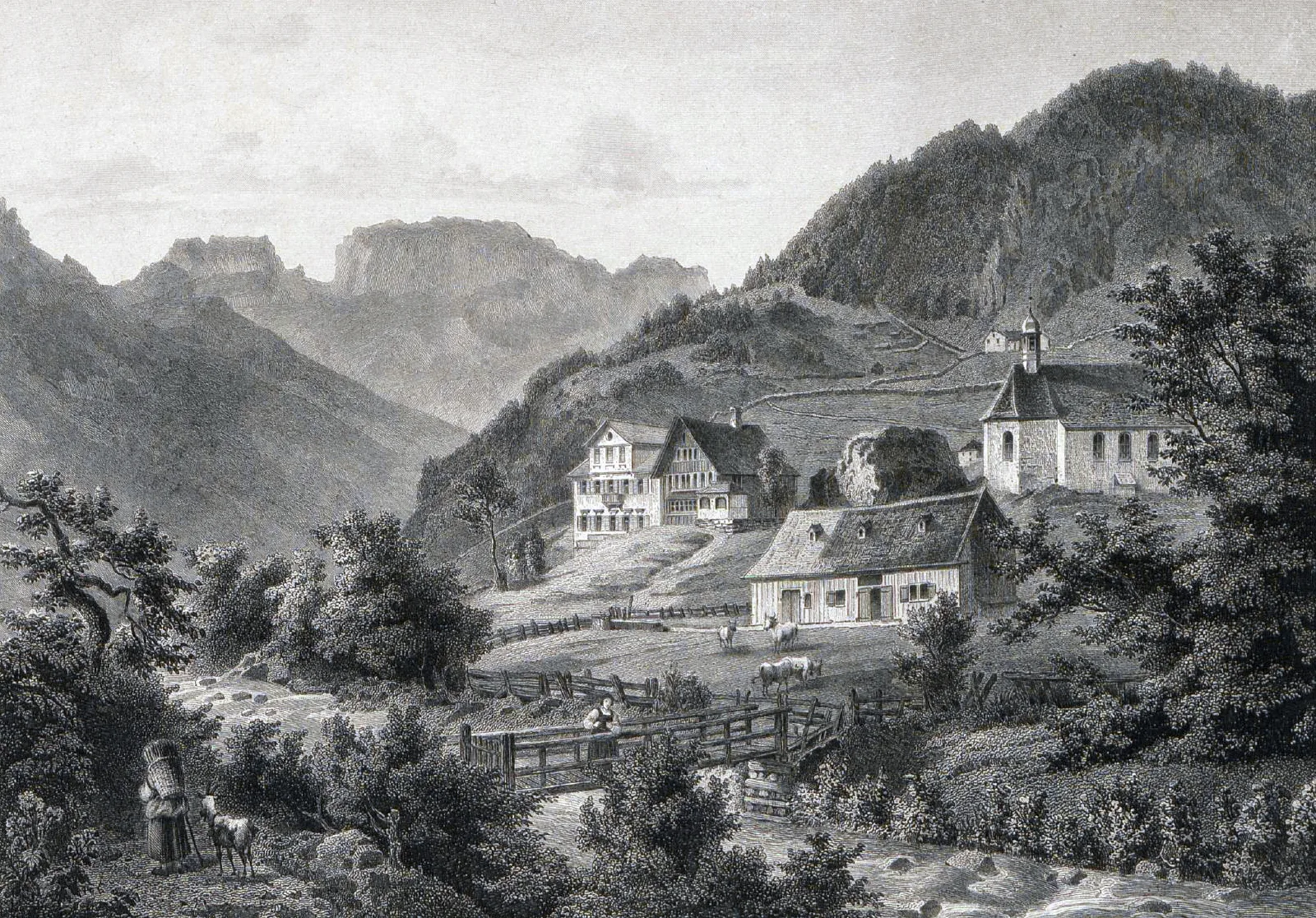
Clearly, not only the clearance of forests, but also the forest itself was vital to the existence of the entire population. Up until the 19th century, the forest served as a source of food (mushrooms, berries, small wild game; large wild game had long been reserved for the higher authorities), as grazing land for cattle, horses and smaller livestock and as a supplier of timber and firewood - the latter two to this day. The forest was of such great importance that rules concerning its use were necessary – rules that are also reflected in individual toponyms: the name Bannwald or abraded Ba(u)wald indicates an official ban or a restriction on use. In the Alpine area and the foothills of the Alps, such forests were protected primarily because they kept avalanches, landslides and rockfalls away from the settlements. Around 40% of Switzerland’s forested land still has this function today.
Chopping, sawing, splitting: forestry work in the 17th century. Woodcut from the Georgica curiosa, an encyclopaedic textbook on all aspects of housekeeping and agriculture, ca. 1685.
Chopping, sawing, splitting: forestry work in the 17th century. Woodcut from the Georgica curiosa, an encyclopaedic textbook on all aspects of housekeeping and agriculture, ca. 1685. Universitäts- und Landesbibliothek Sachsen-Anhalt
Ownership status played an even greater role in the naming of forests and woodlands: a Herrschaftswald, Fronwald or Ho(ch)wald was reserved for use by the higher authorities. A Pfruend- or Chilchewald belonged to the parish community, a Burgerwald belonged to the burger municipality, and a Staatswald belonged to the canton. A Hau-, Allmein- or Allmendwald was owned by the community at large, and an Eigewald was privately owned. 
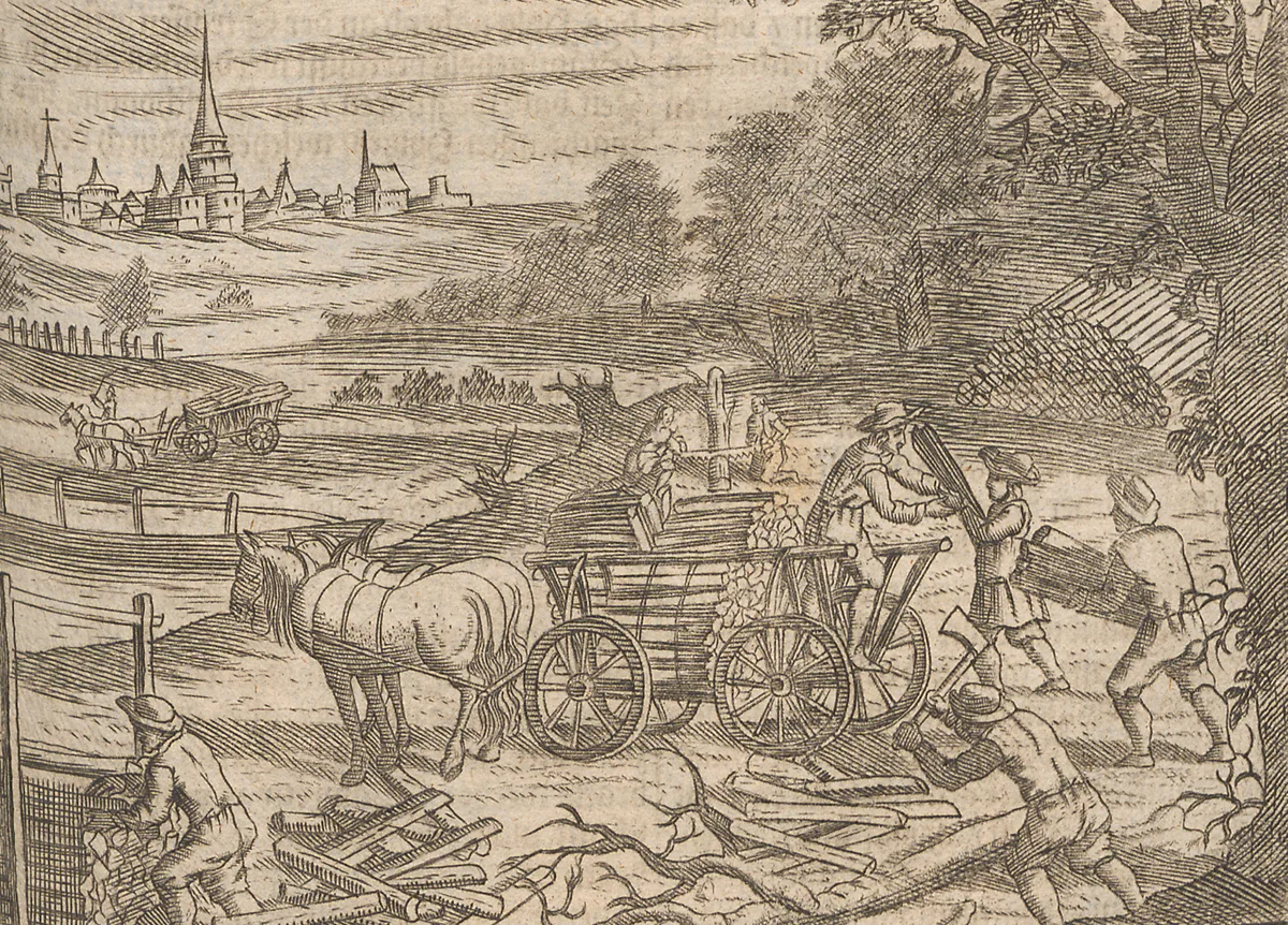
Toponyms reveal a wealth of detail about former ownership structures, technologies and land management and development. The various types of forest use and clearance that our ancestors used over the course of the past millennium are thus also documented in countless place names and locality names – more effectively than in some document collections.

Further posts