Mapping Switzerland’s fortifications: a mountainous endeavour
Between 1888 and 1952, the Federal Office of Topography produced secret, large-scale maps of Switzerland’s fortified areas. Based on work carried out under the most challenging conditions, these provide a fascinating insight into a hidden mountain world.

Felix Frey
Felix Frey is a specialist in history at the Federal Office of Topography (swisstopo).
Fortification maps ‒ why?
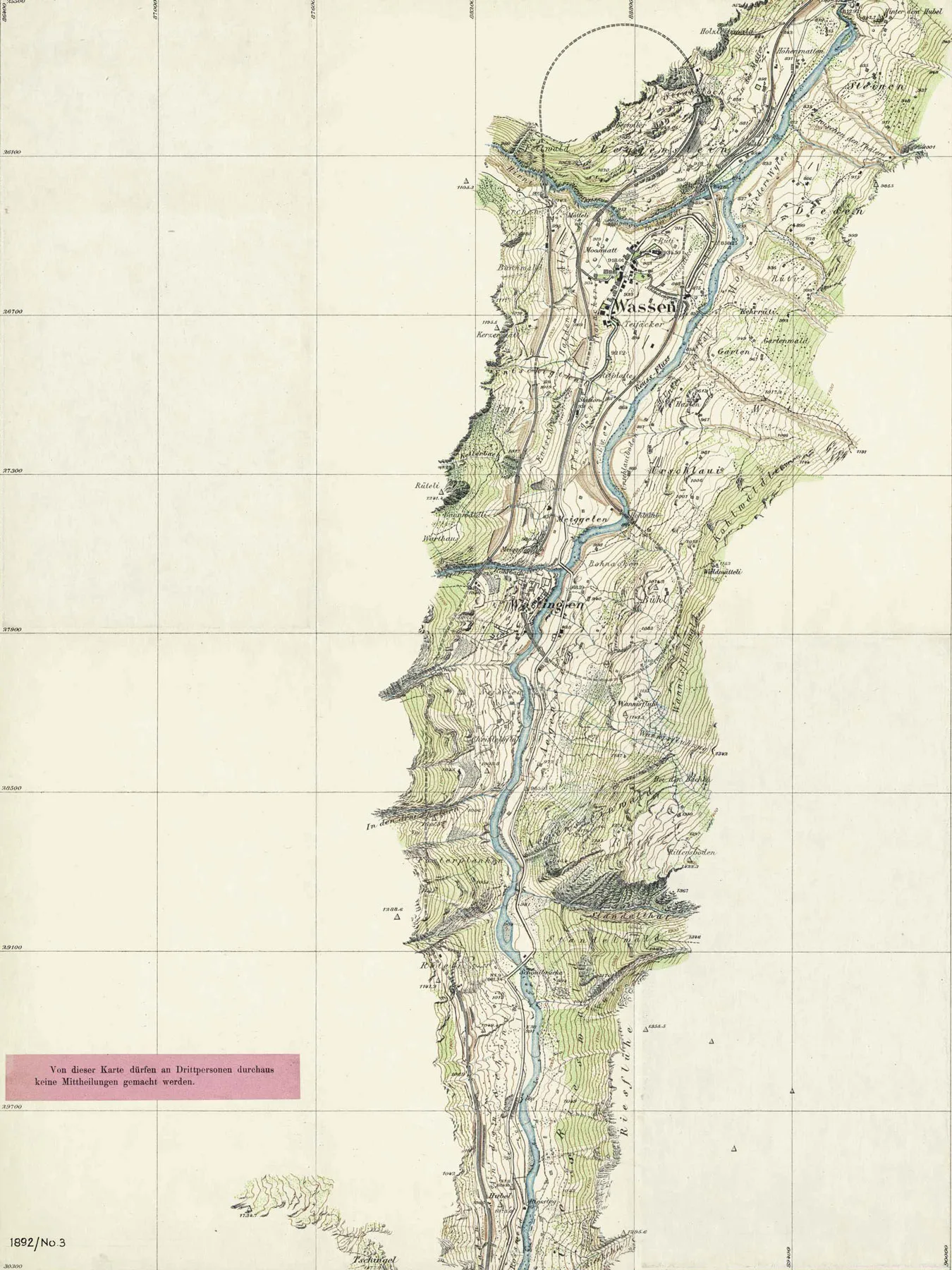
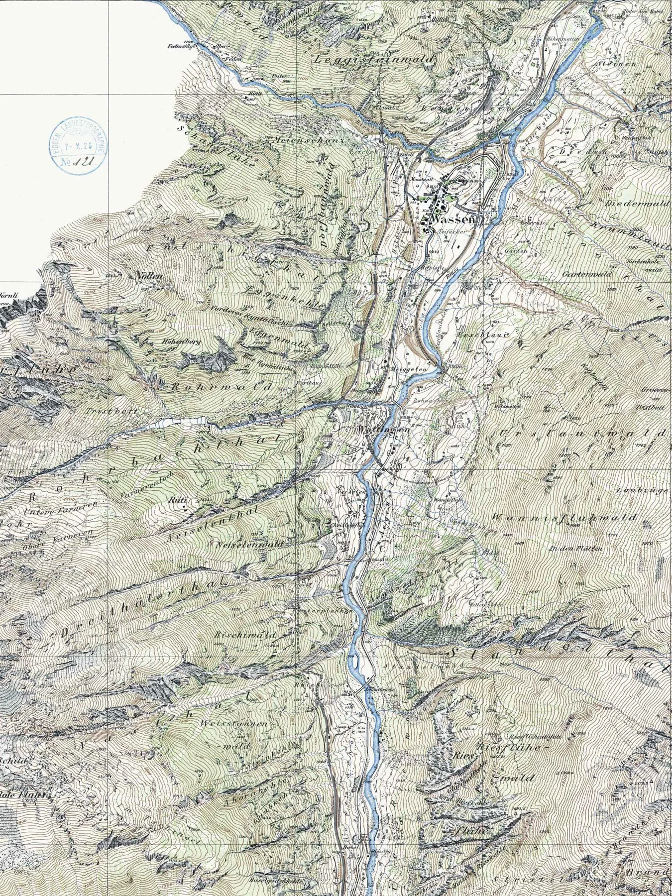
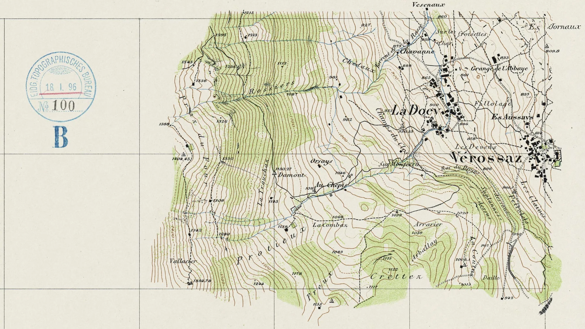
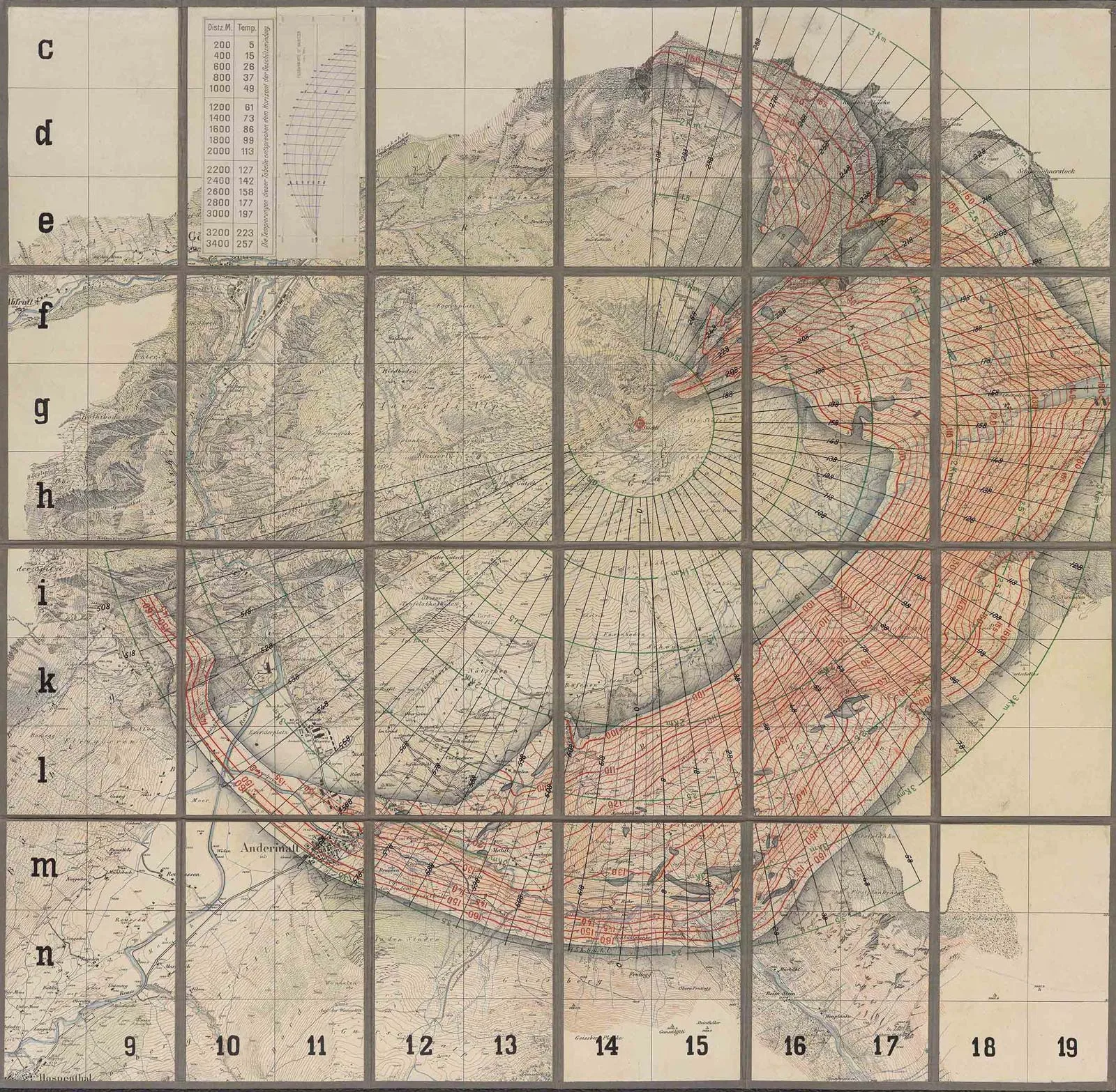
Sheet showing Wassen commune on the fortification map of the Gotthard area in 1892 (left) and 1921 (right). Initially it was mainly the strategically important valleys that were mapped before the focus of surveying work shifted to the high mountain terrain swisstopo map collection, LT FK GOT 4, 1892 / swisstopo map collection, LT FK GOT 4, 1921
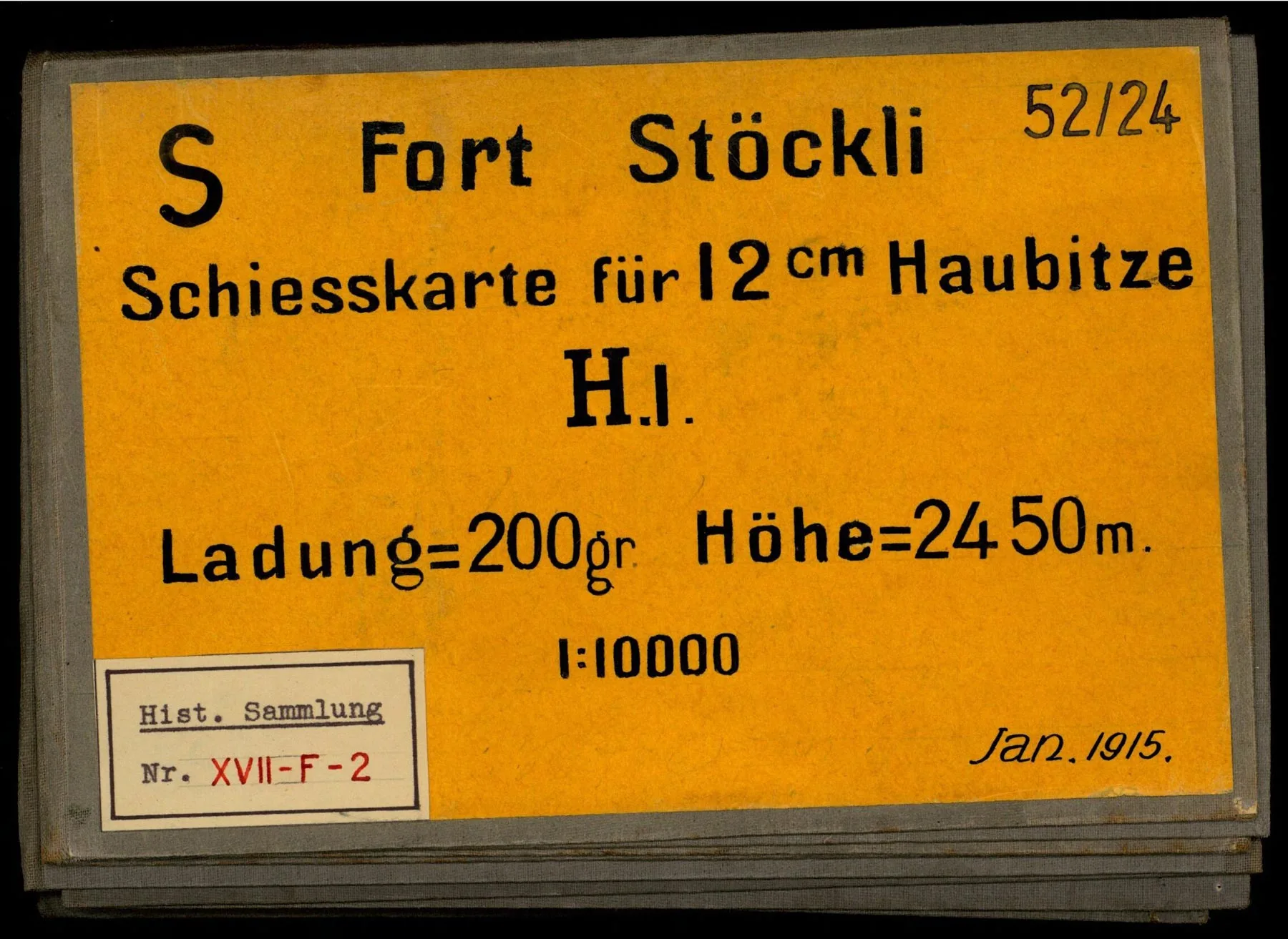
From fortification maps to firing maps
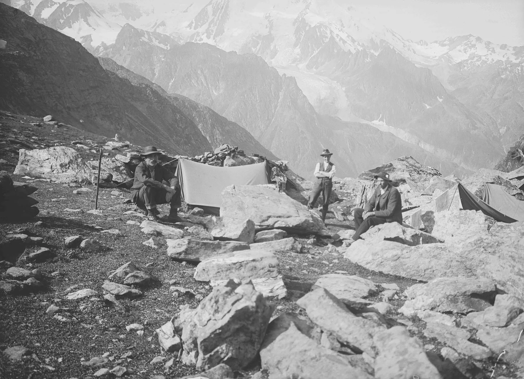
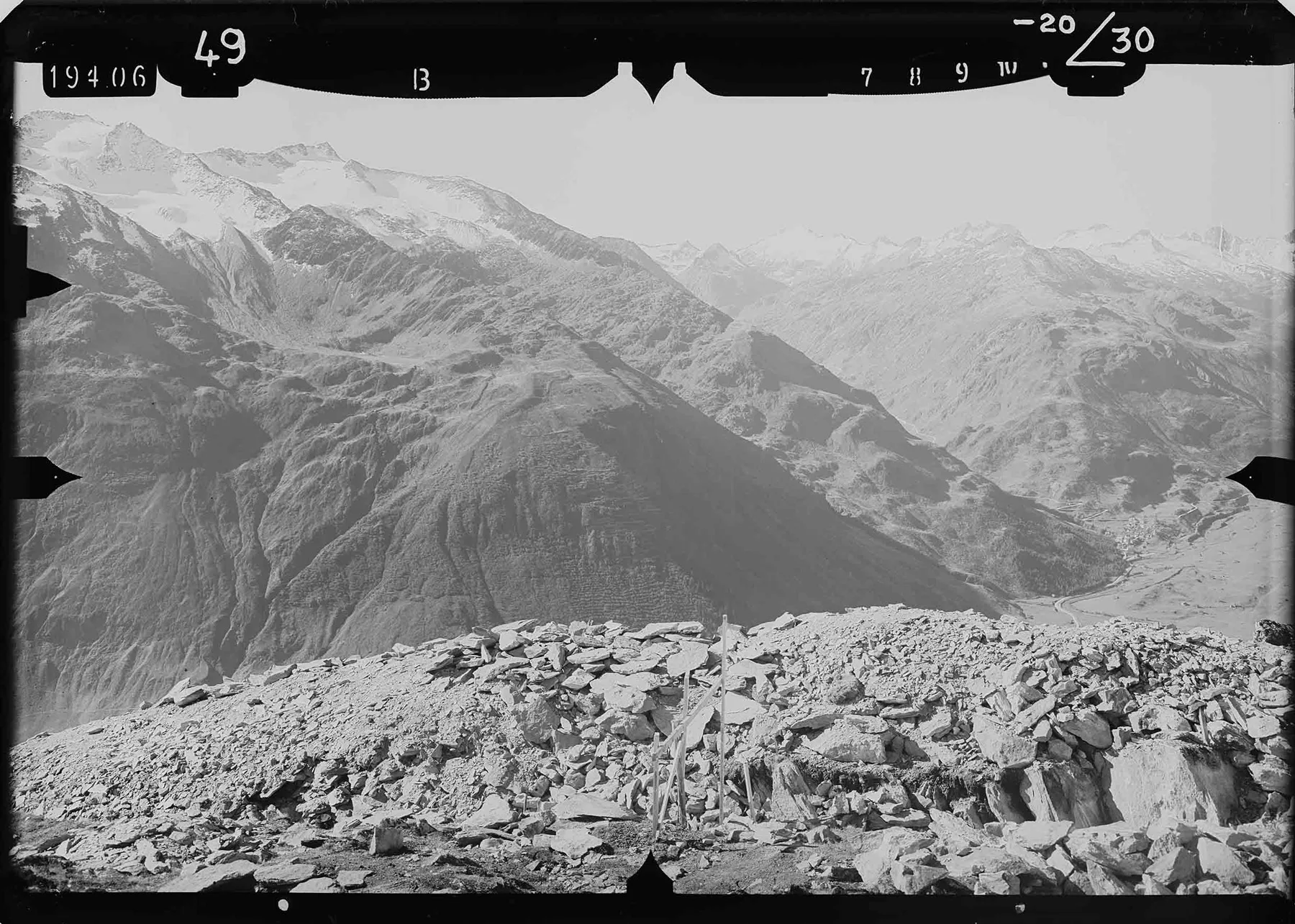
Topographers’ feats of endurance
Photogrammetry: a groundbreaking innovation
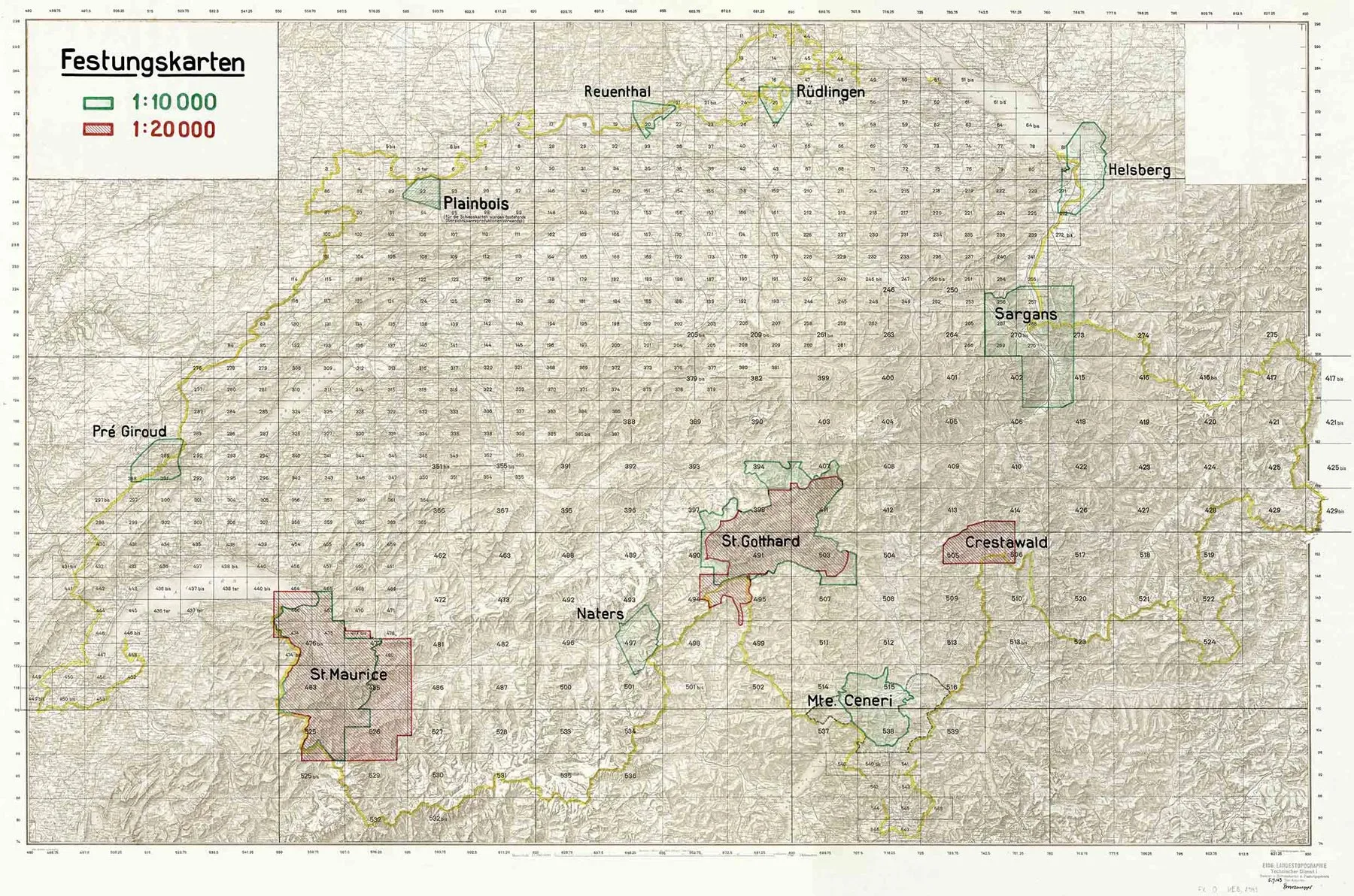
Post-war expansion of the defences
Firing maps: no longer fit for purpose
Epilogue
The first editions of the Gotthard fortress maps are freely available in high resolution on Wikimedia Commons.