A moving mountain: the enigma of the Rosablanche
In 1915, land surveyors realised that the summit of the Rosablanche mountain in the canton of Valais had moved several metres in the space of just a few years. Today, the cause of the movement is more relevant than ever.

Felix Frey
Felix Frey is a specialist in history at the Federal Office of Topography (swisstopo).
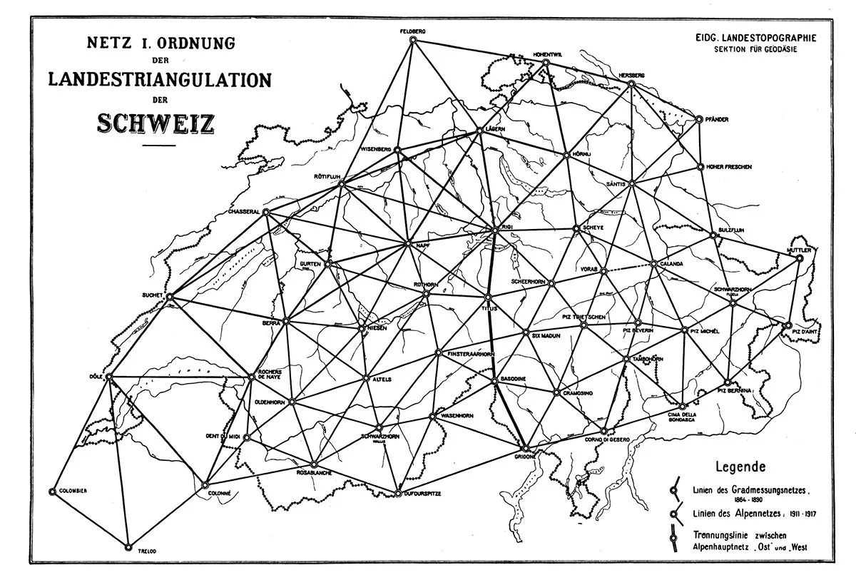
A team of surveyors from the Federal Topographic Bureau (now known as swisstopo) made their way to the summit in September 1914 to measure the angles. The results of these measurements showed that something unusual had been happening on the Rosablanche. According to Hans Zölly (1880–1950), the official in charge of the national trigonometric network at the time, “unpleasant surprises” emerged: none of the triangulation calculations in relation to the Rosablanche made any sense. It was initially thought that measurement and calculation errors must be to blame. However, a second set of calculations confirmed Zölly’s observation: the triangulation point on the Rosablanche had moved by around 3.5 metres between 1895 and 1914. The engineer came to a dramatic conclusion: “We were faced […] with the fact that one of our most important trigonometric control points was not actually a fixed point.”
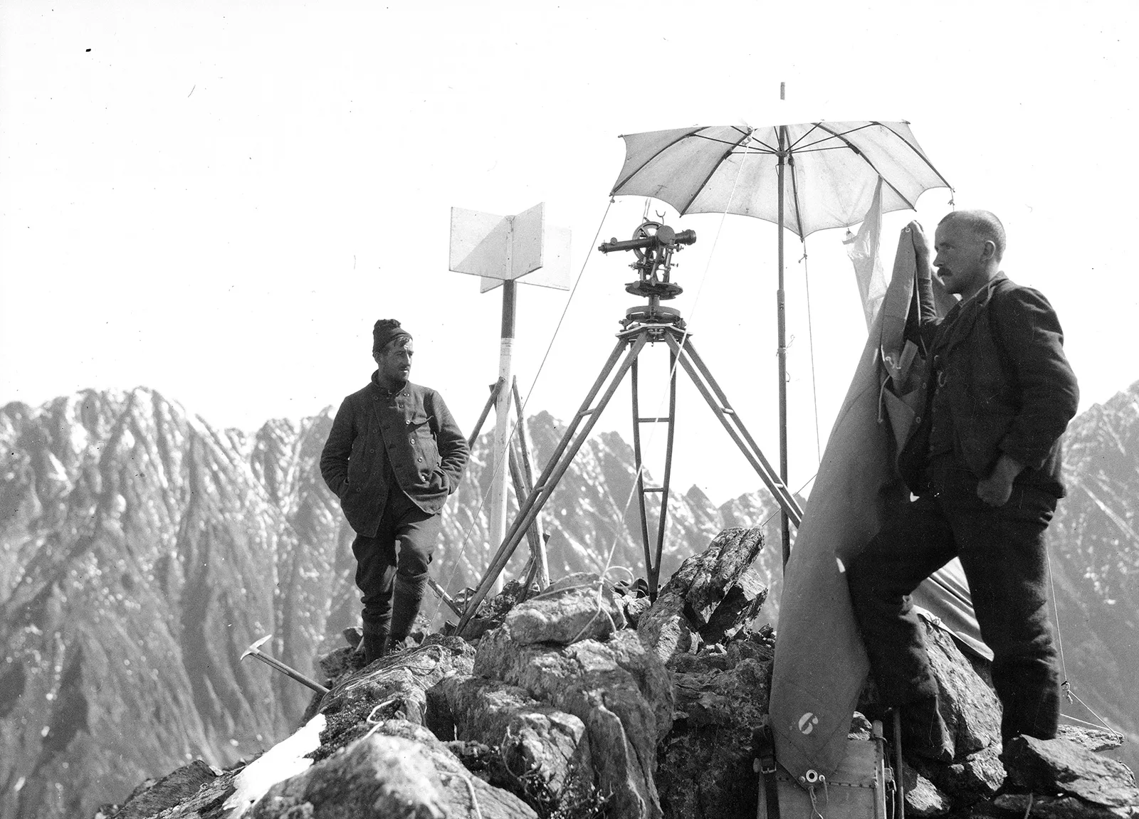
At midday, during the warmest hours, everything moves; blocks fall from left and right into the gully or head south from there towards the glacier. You get the impression that the ground beneath the trig point will not be able to resist for much longer, but must give in to the law of gravity and sink into the depths.
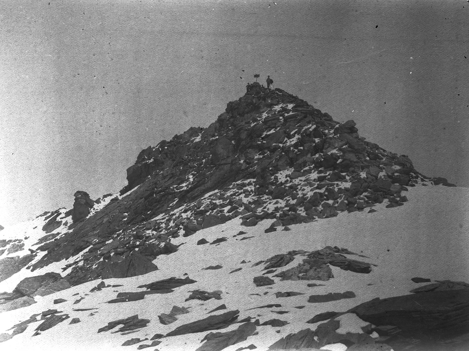
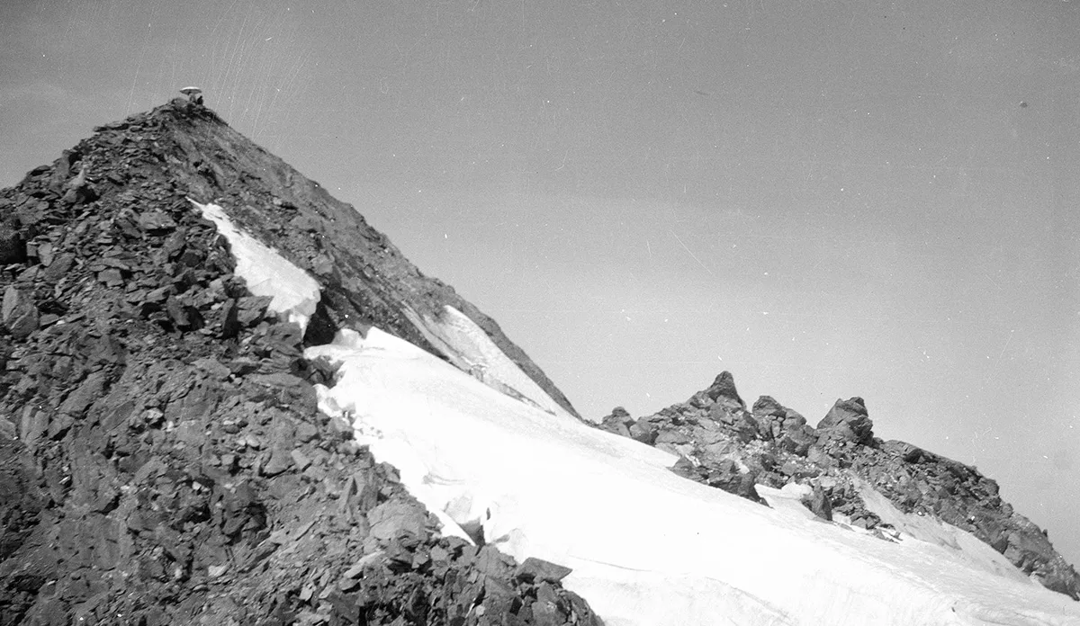
By 1916, Émile Argand had already concluded that it was glacier melt which had set the mass of rock in motion. The Prafleuri Glacier was situated immediately below the mountain’s highest point. It stabilised the pinnacle not only on the outside, but also beneath the surface: the glacier had been eroding the summit of the Rosablanche for thousands of years while at the same time shoring it up with its thick layers of ice. But the Prafleuri Glacier had begun to melt rapidly at the start of the 20th century, causing the peak to lose its icy foundation – and so, the summit’s movement began.
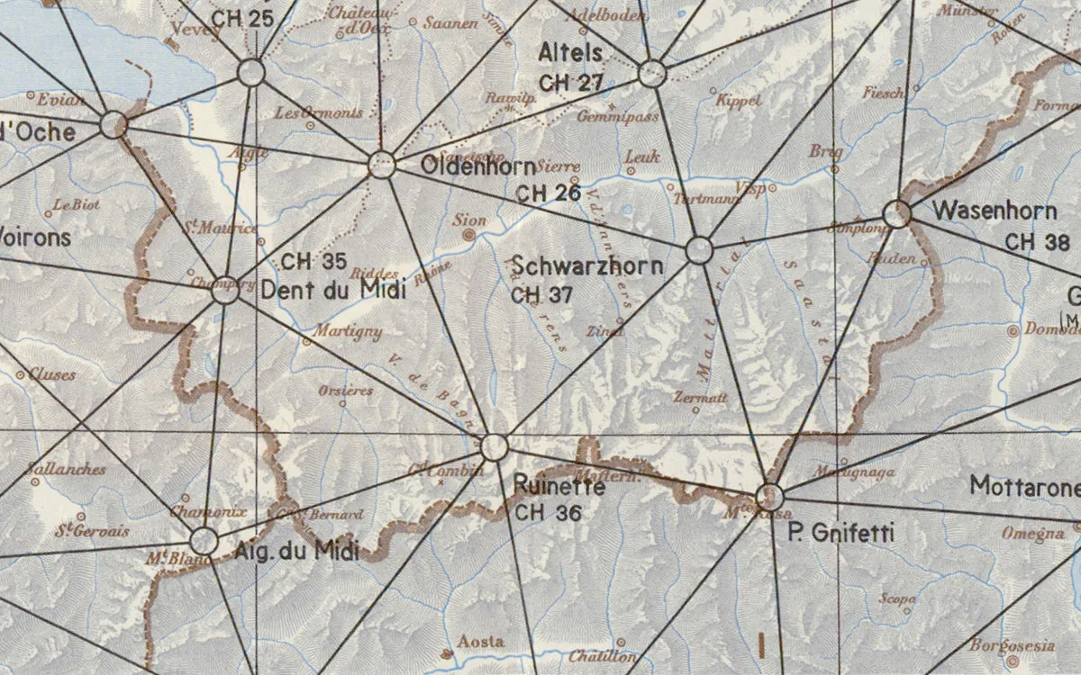
Argand’s findings were also relevant to Switzerland’s system of land surveying: the triangulation point on the unstable summit was no longer suitable as a control point and was replaced by the “magnificent, centrally located peak” of La Ruinette.
The dwindling of the Rosablanche in the 1910s was also one of the first incidents to highlight the relationship between ice and rock. The fact that glaciers and permafrost play a significant role in literally holding the Alps together is now becoming ever more apparent as global warming progresses. The massive rockfall of 11 June 2023 on the Fluchthorn mountain, which borders Switzerland and Austria, is the most recent example of this. One million cubic metres of rock were sent crashing into the valley below, leaving the peak around 19 metres shorter than before. The cause: thawing permafrost and the melting of the Fluchthornferner, the glacier which had supported the western side of the mountain. Until it retreated, thereby – like the Prafleuri Glacier before it – setting the mountain aquiver.
Space and time
This article was originally published (in German and French) on the “Space and time” website of the Federal Office of Topography (swisstopo), where readers can regularly discover thrilling chapters from the history of Swiss cartography.