Dialect or standard language? This question occupied the topographers. Illustration by Marco Heer.

Maps and Switzerland’s linguistic destiny

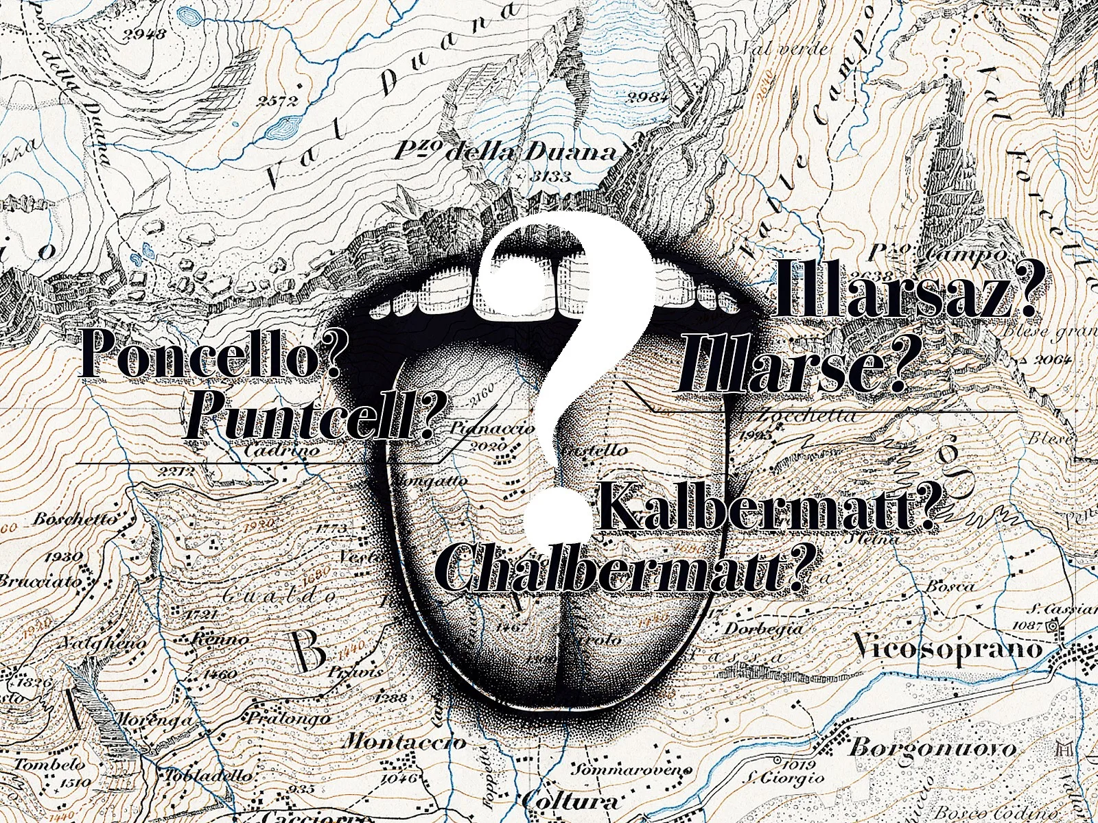
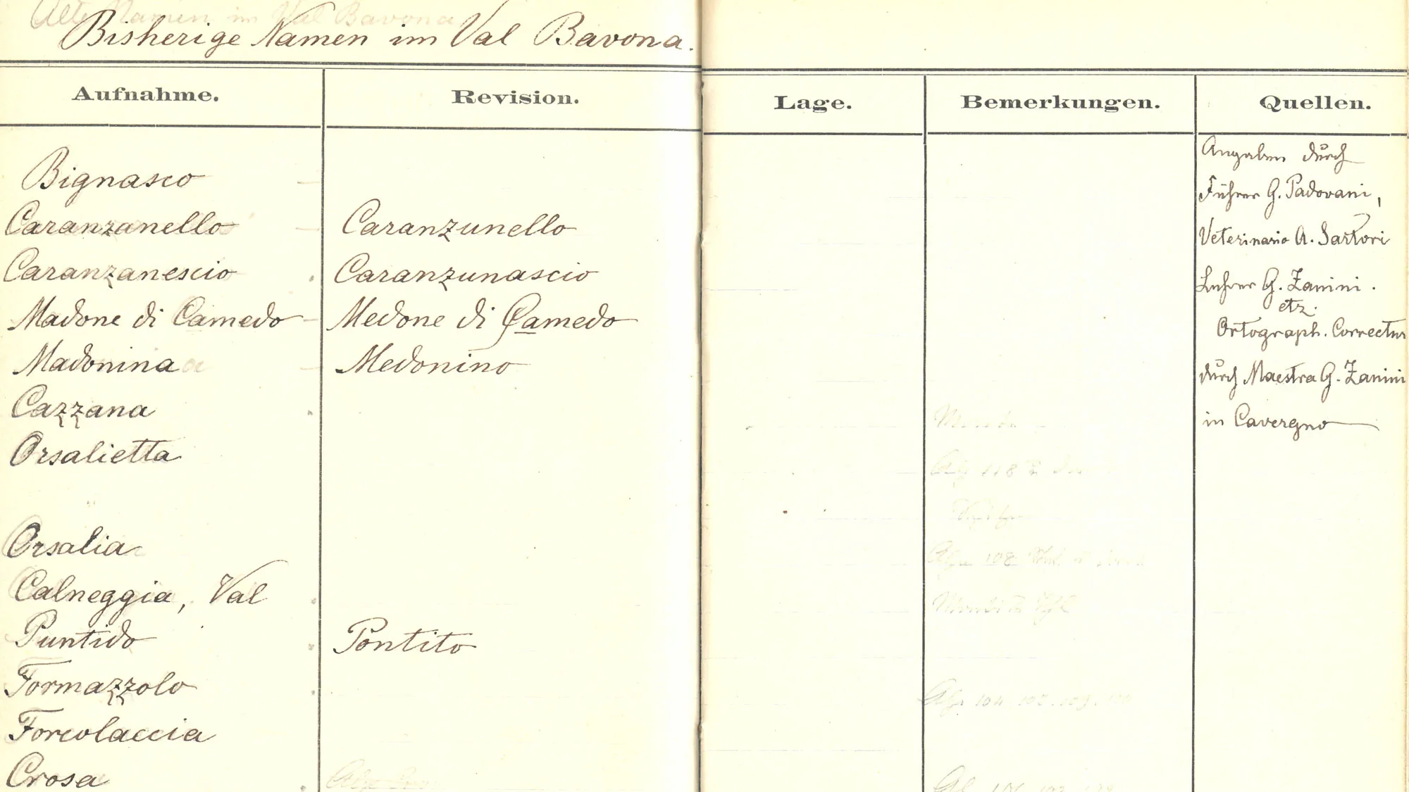
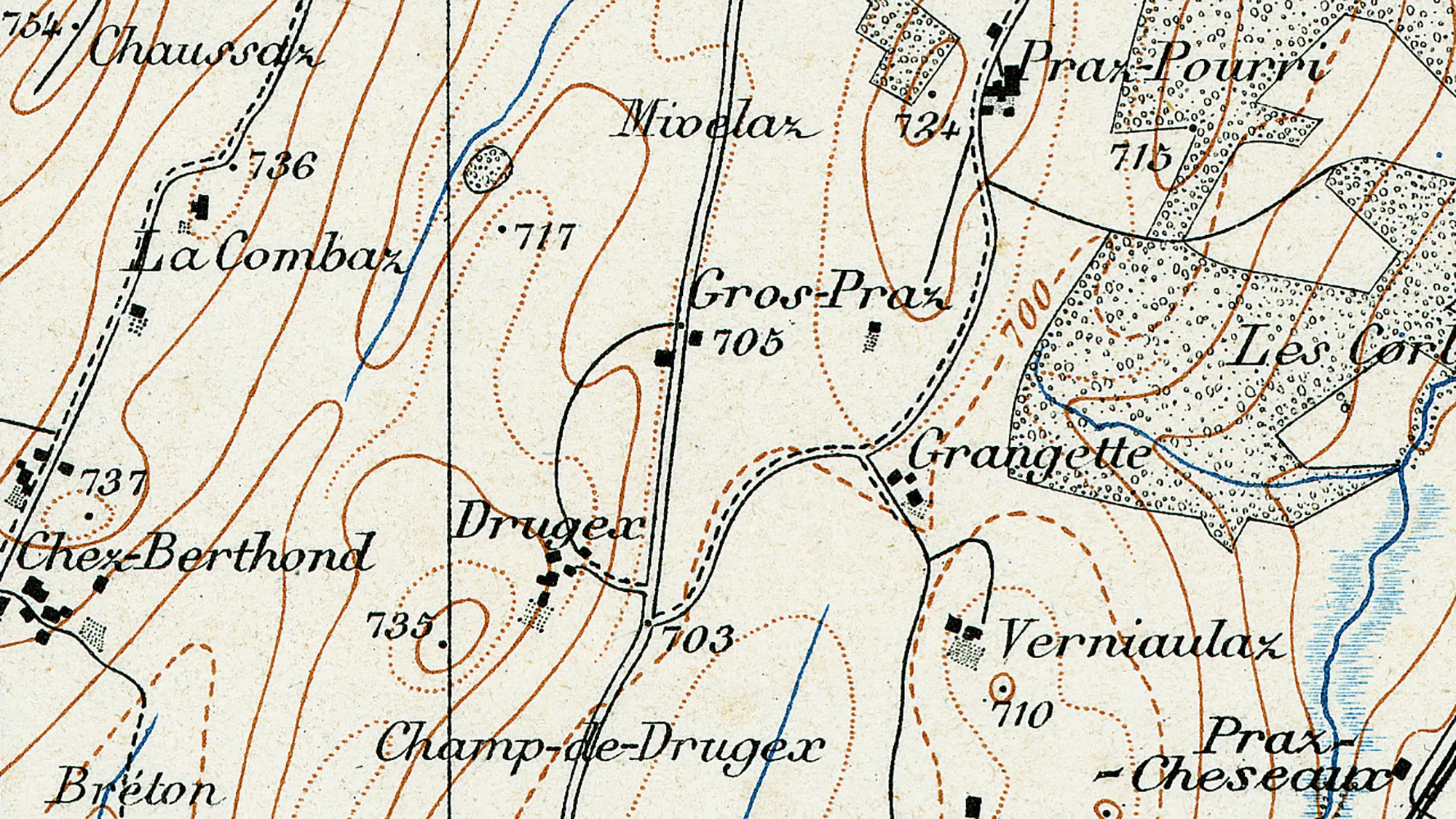
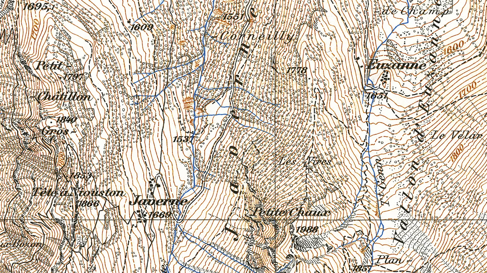
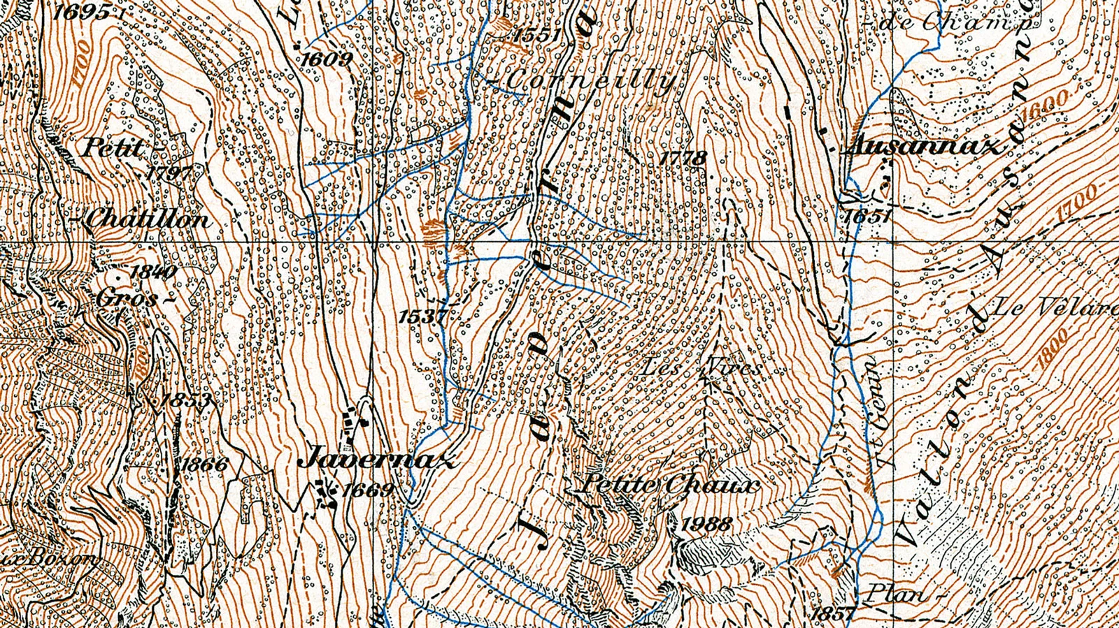
Poncello or Puntcell? Illarsaz or Illarse? Kalbermatt or Chalbermatt? The spelling of place names has frequently been a contentious issue in all parts of Switzerland, particularly when it comes to striking the right balance between standard language and dialect.

Felix Frey

Felix Frey

Felix Frey is an expert in history at the Federal Office of Topography (swisstopo).

Topographic maps are designed to be objective. But one specific cartographic element systematically muddies the waters: the names of settlements, grasslands, valleys and rivers can’t be measured using instruments. Instead, they have to be collected by asking local people. What’s this mountain called? What do you call that hill? And what’s the name of this stream?
Field book featuring geographic names in Val Bavona, circa 1896. Mountain guide G. Padovani, veterinarian A. Sartori and teacher G. Zanini provided the topographers with information.
Field book featuring geographic names in Val Bavona, circa 1896. Mountain guide G. Padovani, veterinarian A. Sartori and teacher G. Zanini provided the topographers with information. swisstopo map collection
This unusually subjective form of data collection has caused many a challenge in the history of Swiss cartography. The trade-off between dialect and standard language has proven a particular dilemma.

swisstopo historic podcast (in German)

Are you interested in the history of place names? You can find out more in the swisstopo historic podcast. Take a listen – available on Spotify, Apple Podcasts or here.

Bargaiot and Italian

In Bregaglia (an Alpine valley in Switzerland’s south-east corner), people speak a local dialect called Bargaiot. It bears similarities to Lombard and Romansh and is clearly distinct from standard Italian. But when the ‘Maloja’ sheet of the Siegfried Map was published in 1876, there was no trace of Bargaiot as the geographical names in Bregaglia had been systematically adapted to standard Italian. 
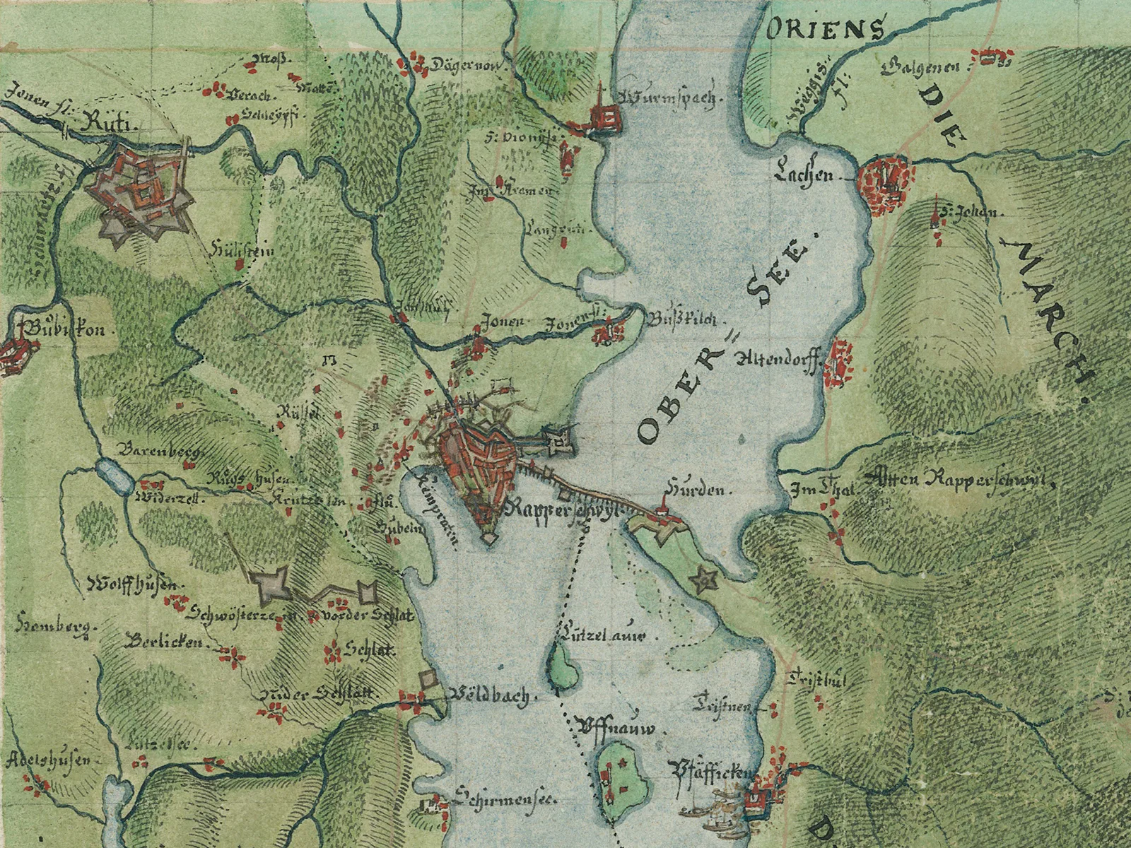
We don’t know exactly what made the cartographers radically alter the place names. But the systematic Italianisation was probably intended to ensure linguistic standardisation. In doing this, the cartographers had broken the inviolable rule whereby names should be recorded using local spellings. But this was the only way of ensuring that cartographers could engage with local populations about map content.
Leonz Held was director of swisstopo from 1901 to 1920.
Leonz Held was director of swisstopo from 1901 to 1920. swisstopo image collection
The people of Bregaglia did indeed find the Italianised place names strange and unfamiliar. They complained about these ‘incorrect’ names and demanded that the map feature Bargaiot names instead. As swisstopo Director Leonz Held noted in 1910, the people of Bregaglia wouldn’t rest “until the original local place names were restored on the corresponding sheets of the Siegfried Map.” From 1906, the geographical names of Bregaglia were written on the map as they were spelled by local people.
Section of the map LT TA 520 ‘Maloja’, 1876.
Section of the map LT TA 520 ‘Maloja’, 1906.
Brucciato became Brüsce and Mongatto became Mungatt: in 1906, the Italianised place names of 1876 (left) disappeared in Bregaglia in favour of Bargaiot (right). swisstopo map collection / swisstopo map collection

Patois and standard French

Cartographers also had to navigate between dialect and written languages in French-speaking Switzerland. Various patois – as dialects are known in the French-speaking part of Switzerland – were still very common in the early 20th century. And this was reflected on maps. Patois elements, such as place names ending in -az or the word praz for pasture were frequent on the Siegfried Map.
Mivelaz, Praz-Pourri, Verniaulaz and so on: patois elements on the Siegfried Map, 1910.
Mivelaz, Praz-Pourri, Verniaulaz and so on: patois elements on the Siegfried Map, 1910. swisstopo map collection
The mixture of patois and standard French on official maps of Switzerland proved a headache for Bern National Councillor Virgile Rossel. As he saw it, patois dialects had been in decline for decades and would soon be completely ousted by standard French. In order to make maps future proof, Rossel argued that the dialect elements should be systematically erased from maps. In 1910, Rossel went to the Federal Council and called for a systematic ‘Frenchification’ of geographical names in Romandy. He cited his fellow campaigner, professor of philology Ernest Muret from Geneva:

It is crucially important that dialect place names adopted on maps and in official use are frenchified in moderation, with tact and discretion, but in a generalised and systematic way […]

Ernest Muret, 1910
The Federal Council and the Federal Office of Topography rejected Rossel’s proposal, emphasising that official maps were not a test laboratory for language policy. Instead, they should convey the geographical names that are familiar to local people. Besides, it said, a topographic map should describe the present and not a hypothetical future. In the early 20th century, patois was still very much alive in French-speaking Switzerland. 
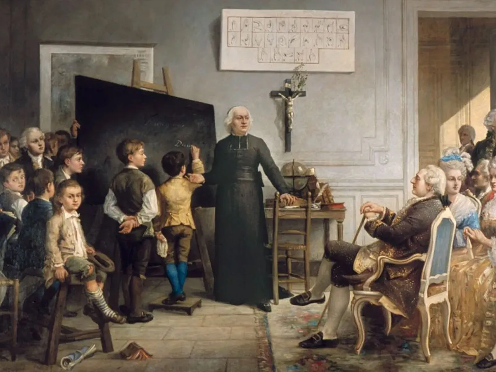
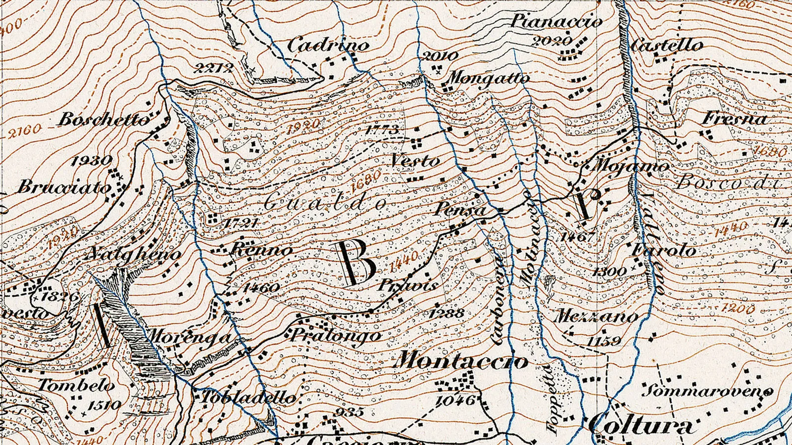
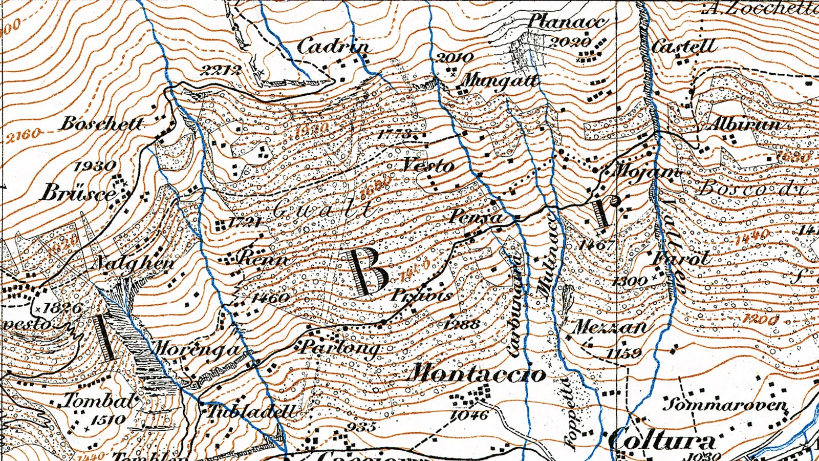
Despite this clear rejection, the proponents of Frenchification successfully realised their proposal for a short time on maps of the Lower Valais. This was down to topographer Charles Jacot-Guillarmod. As a high-ranking staff member at the Federal Office of Topography, he shared Virgile Rossel’s view and decided to make it a reality: in 1908, Jacot-Guillarmod surreptitiously frenchified a number of geographical names on sheet 484 of the Siegfried Map ‘Lavey-Morcles’. Partly because of this unauthorised intervention, the engineer was removed from his position as head of the topography division in 1912.
Section of map LT TA 484, ‘Lavey-Morcles’, 1908.
Section of map LT TA 484, ‘Lavey-Morcles’, 1928.
In 1908 Jacot-Guillarmod frenchified Javernaz to Javerne and Ausannaz to Euzanne (left). These arbitrary changes were reversed on the updated edition of 1928 (right) swisstopo map collection / swisstopo map collection

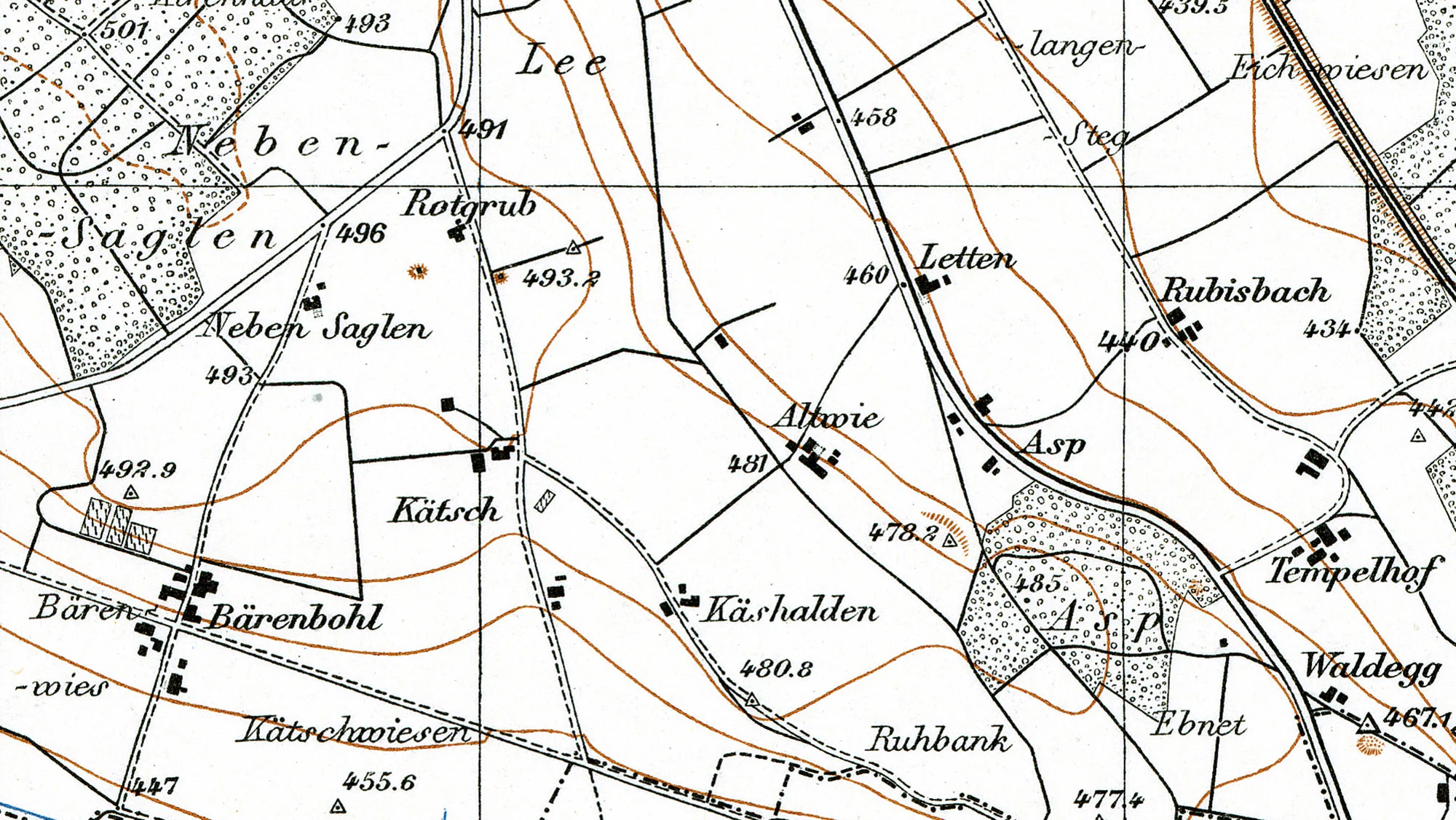
Swiss German and High German

There have also been passionate discussions about maps and language in German-speaking Switzerland. One accusation proved particularly persistent: that the geographical names on the Siegfried Map were too heavily influenced by High German, while Swiss German dialect was overlooked. This criticism continued to grow in the 1930s. In particular, Zurich linguist Guntram Saladin was a fervent advocate of the use of Swiss German dialect in place names. In 1939 he wrote in the newspaper Neue Zürcher Zeitung that only the “living dialect of local folk” should be included in maps. He added that the High German names that “some out-of-touch officials and surveyors happen to like and commit to paper” should disappear from Swiss maps altogether. But Guntram Saladin was preaching to the converted, even at the Federal Office of Topography. This was the age of spiritual national defence when everything that was considered ‘authentically Swiss’ was promoted – including dialect. However, some were critical of a radical ‘dialectisation’ of geographical names. For example, Zurich cartography professor Eduard Imhof pointed out that the coexistence of High German and dialect was actually typically Swiss:

Systematic use of dialect is a pipe dream […]. Our maps reflect Switzerland’s linguistic destiny – the coexistence of dialect and standard language. Is this worth losing sleep over?

Eduard Imhof, 1945
The debate over place names in German-speaking Switzerland led to a set of rules on the writing of geographical names in 1948. Under these rules, Swiss German spoken forms of place names were to take precedence. In Switzerland’s official maps there was a noticeable pivot towards Swiss German dialect from that point on.
Section of the map LT TA 43, 1949.
Section from map LT LK 1071, 1956.
Kätsch became Chätsch, Rotgrub became Rotgrueb: dialect was bolstered when the Siegfried Map (1949, left) transitioned to the National Map (1956, right). swisstopo map collection / swisstopo map collection

A question of identity

Geographical names are part of our everyday life and touch on sensitive identity issues. In addition, in many regions of Switzerland, there is a stark contrast between written language and dialect. So it’s hardly surprising that the names of streams, hills, valleys and grasslands remain a subject of debate today, despite the regulations of 1948, which for the most part still apply. While they set out certain guidelines for the Swiss German-speaking area, they still grant a lot of leeway in defining place names. As authority for deciding place names lies with the cantons, there is still a great deal of variation and regional difference in terms of the handling of dialect and standard language in Switzerland’s geographic names, even now in the 21st century. This is probably a good thing as at least one insight has emerged in almost 200 years of official map production: that artificial standardisation of geographical names, whether in favour of standard language or dialect, doesn’t go down well in Switzerland. As Eduard Imhof noted in 1945, the coexistence of dialect and standardised language is “Switzerland’s linguistic destiny” – and this has always been true for topographic maps of the country.

Further posts